After the RVSEF conference ended we
travelled about 30 minutes from NE Colorado Springs to SW Colorado Springs and
the Garden of the Gods campground. At
first we were a little put off because it was a tight fit, but it was clean and
neat, fairly empty and quiet, and in a great location --
 between the historic
mountain town of Manitou Springs with its shops and restaurants and interesting architecture
between the historic
mountain town of Manitou Springs with its shops and restaurants and interesting architecture
between the historic
mountain town of Manitou Springs with its shops and restaurants and interesting architecture and historic Colorado City with
more shops and restaurants and interesting architecture.
and historic Colorado City with
more shops and restaurants and interesting architecture.  Nearby were the scenic natural
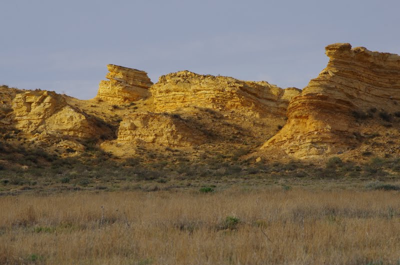
wonders that we seek and enjoy -- North
Cheyenne Canyon,
Nearby were the scenic natural
wonders that we seek and enjoy -- North
Cheyenne Canyon,  Garden of the Gods,
Red Rock Canyon,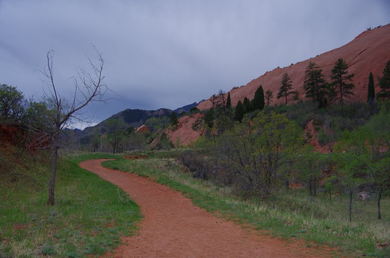
 Seven Falls,
The views of Pike's Peak were everywhere
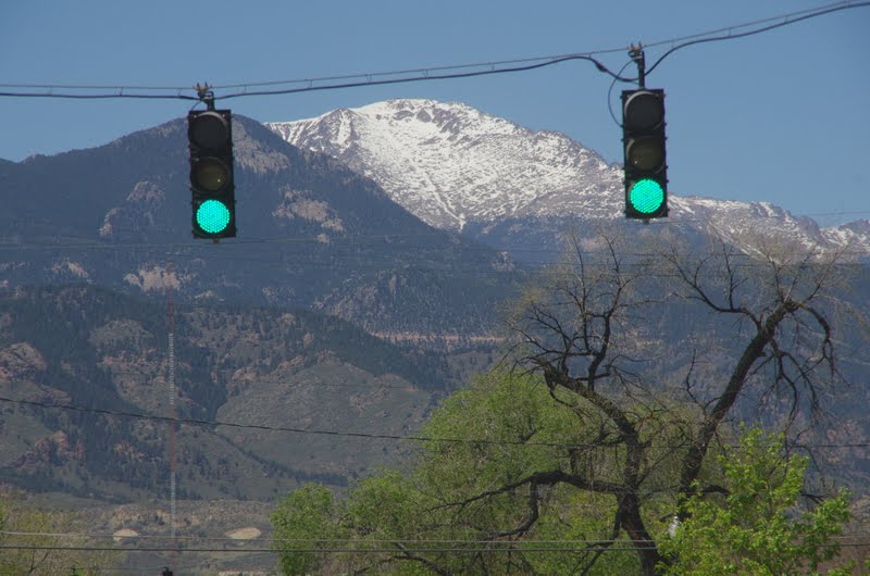
 and the hilly terrain didn't make us miss NJ at all!
After four days at the Garden of the Gods campground we moved to Golden Eagle Ranch campground, where we were fortunate enough to get a reservation on short notice for Memorial Day weekend. The Ranch is a huge campground with about 500 sites, high in the hills and surrounded by mountains, but only 20 minutes from the main attractions of the Manitou Springs area. We arrived on Thursday so it was pretty empty and we chose a large site with a great view.

In future posts I'll share some more of our Colorado Springs adventures. Tune in later.